Roof, Building & Pavement Documentation
Rusty Lens Media provides high-resolution aerial documentation of roofs, buildings, pavement, and exterior property areas for commercial, residential, industrial, and rural properties.
Drone imagery can provide a clear visual record of rooftop equipment, drainage areas, parking lots, access roads, building exteriors, and other locations that may be difficult, unsafe, or time-consuming to view from the ground.
What Can Be Documented
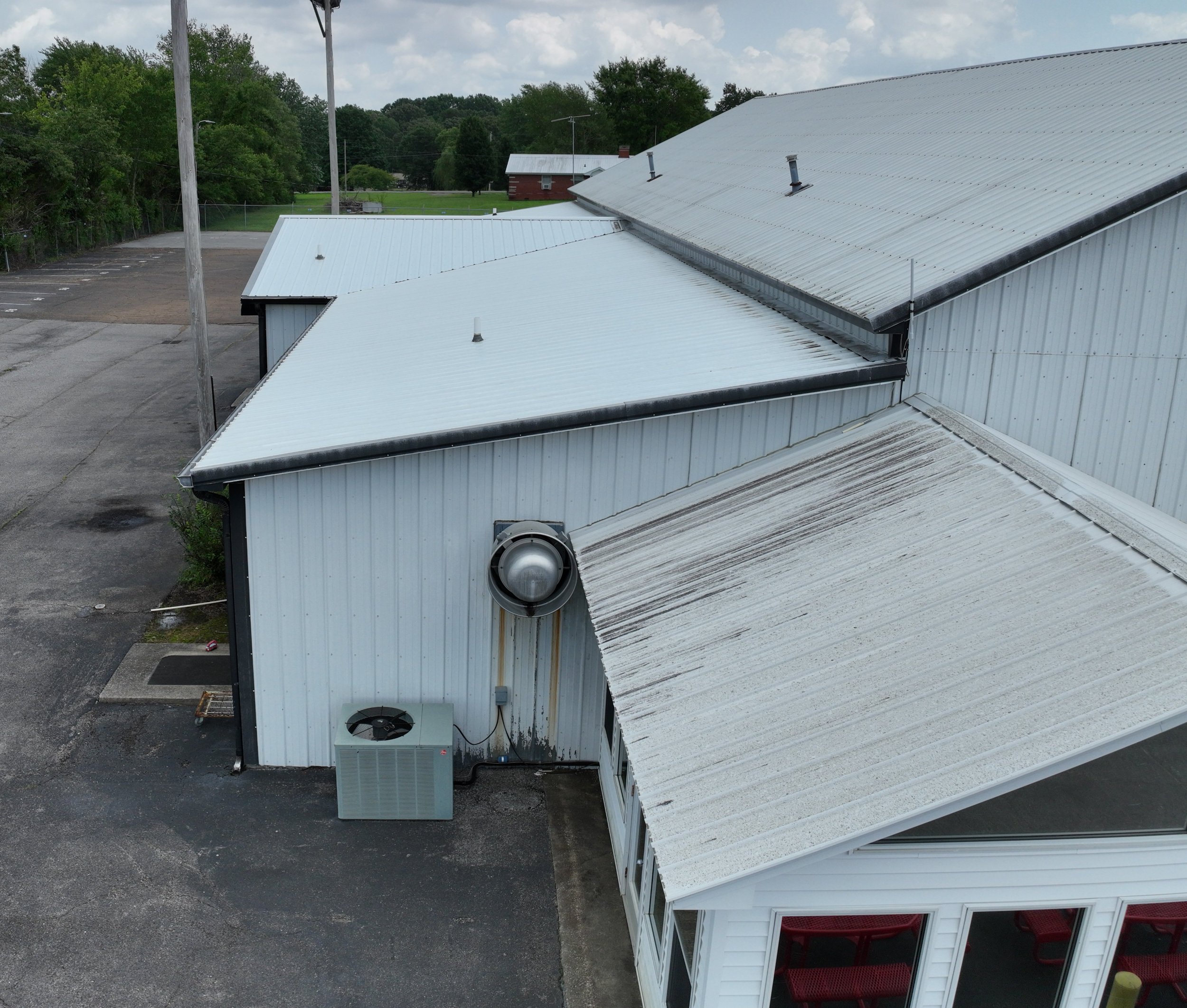
Roof & Building Areas
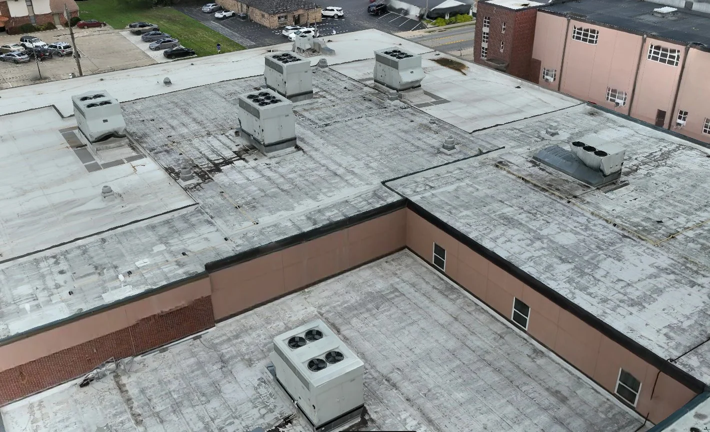
Aerial imagery can document roof surfaces, HVAC equipment, vents, roof penetrations, gutters, drainage areas, flashing, roof edges, and exterior building conditions that may be difficult to view clearly from the ground.
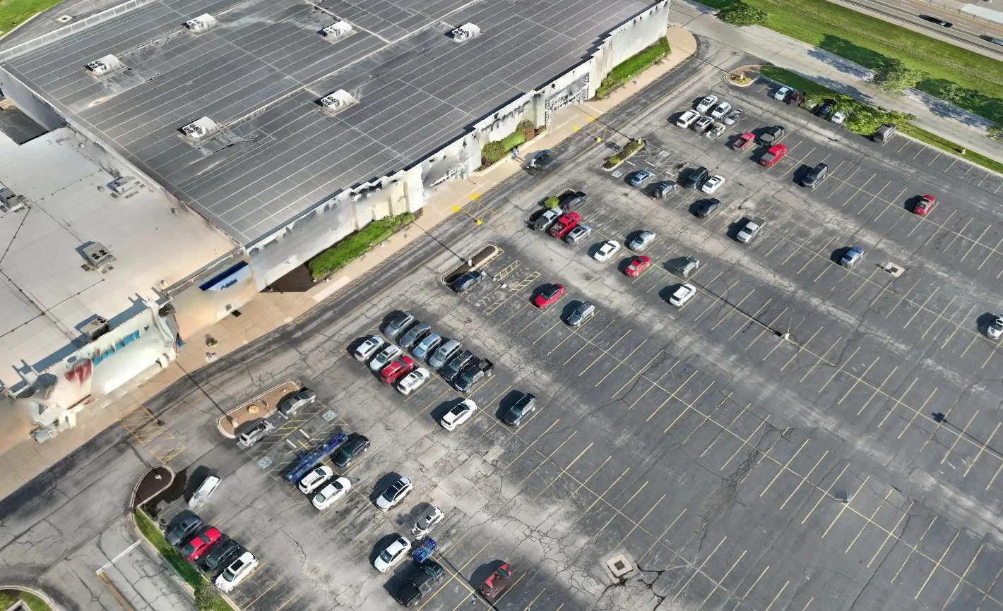
Pavement & Exterior Property Areas
Aerial imagery can document parking lots, access roads, loading areas, curbs, sidewalks, striping, patched areas, surface wear, drainage paths, and the overall condition and layout of a property.
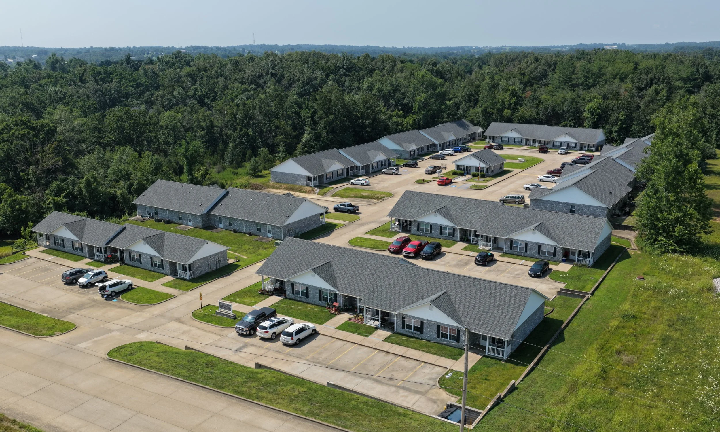
Why Use Aerial Documentation?
Some property areas cannot be clearly seen from the ground. Drone imagery provides an overhead and angled view that helps owners, contractors, maintenance crews, property managers, and other professionals better understand the condition and layout of a site.
The images can support maintenance planning, contractor communication, property records, insurance-related documentation, repair planning, and general site awareness.
Need a Property Documented?
Contact Rusty Lens Media for a quote on aerial documentation for your property.