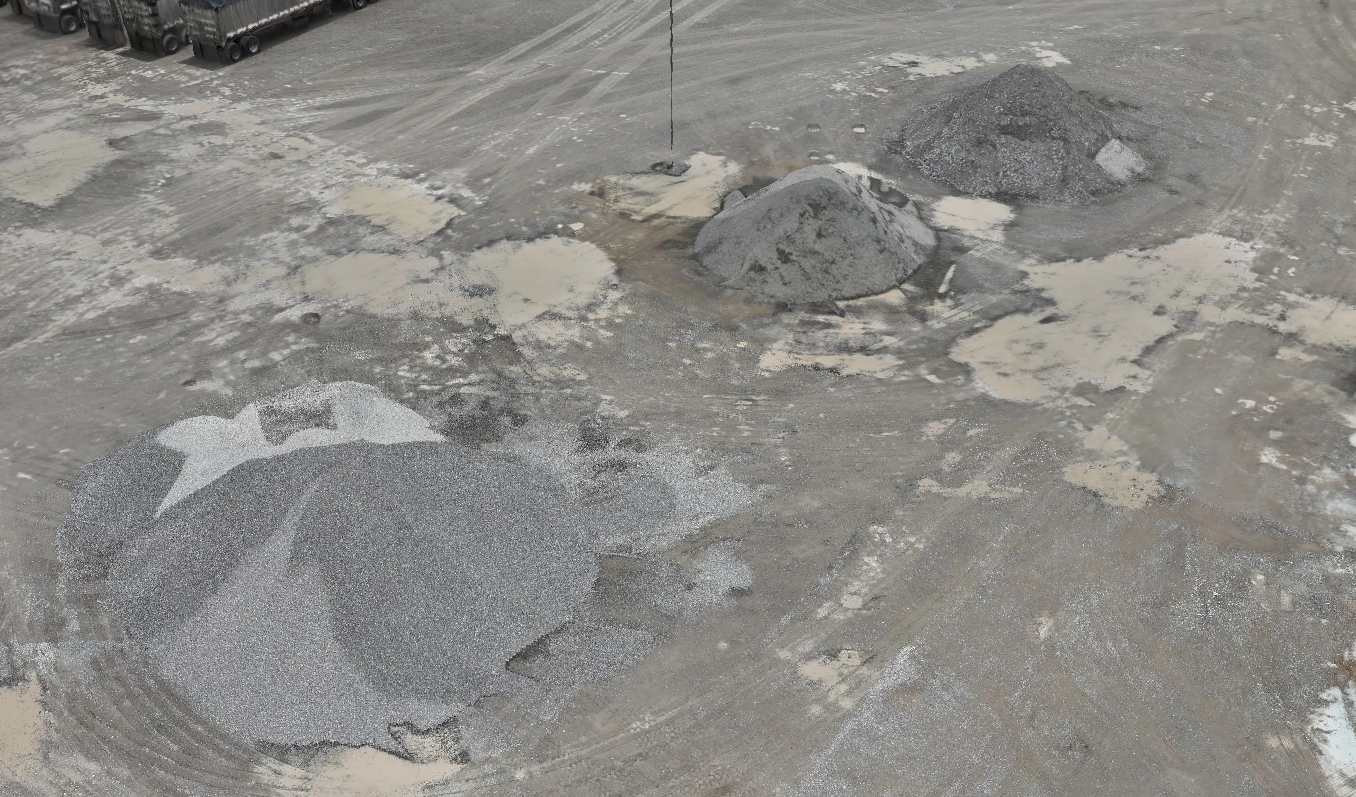
Stockpile & Material Yard Documentation
Rusty Lens Media provides aerial documentation for material yards, stockpiles, aggregate, rock, sand, gravel, topsoil, and similar outdoor storage areas.
Using drone-based mapping and visual documentation, I can help create clear site records that show stockpile locations, material areas, yard layout, and changes over time.
What This Service Can Help With
Stockpile and material yard documentation
Monthly or scheduled inventory records
Overhead site maps
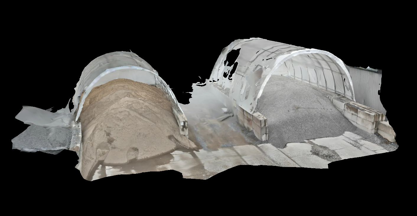
3D visual references
Material area photos
Yard condition records
Before-and-after comparisons
Support images for internal reports
Why Use Aerial Documentation?
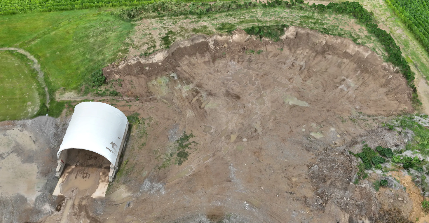
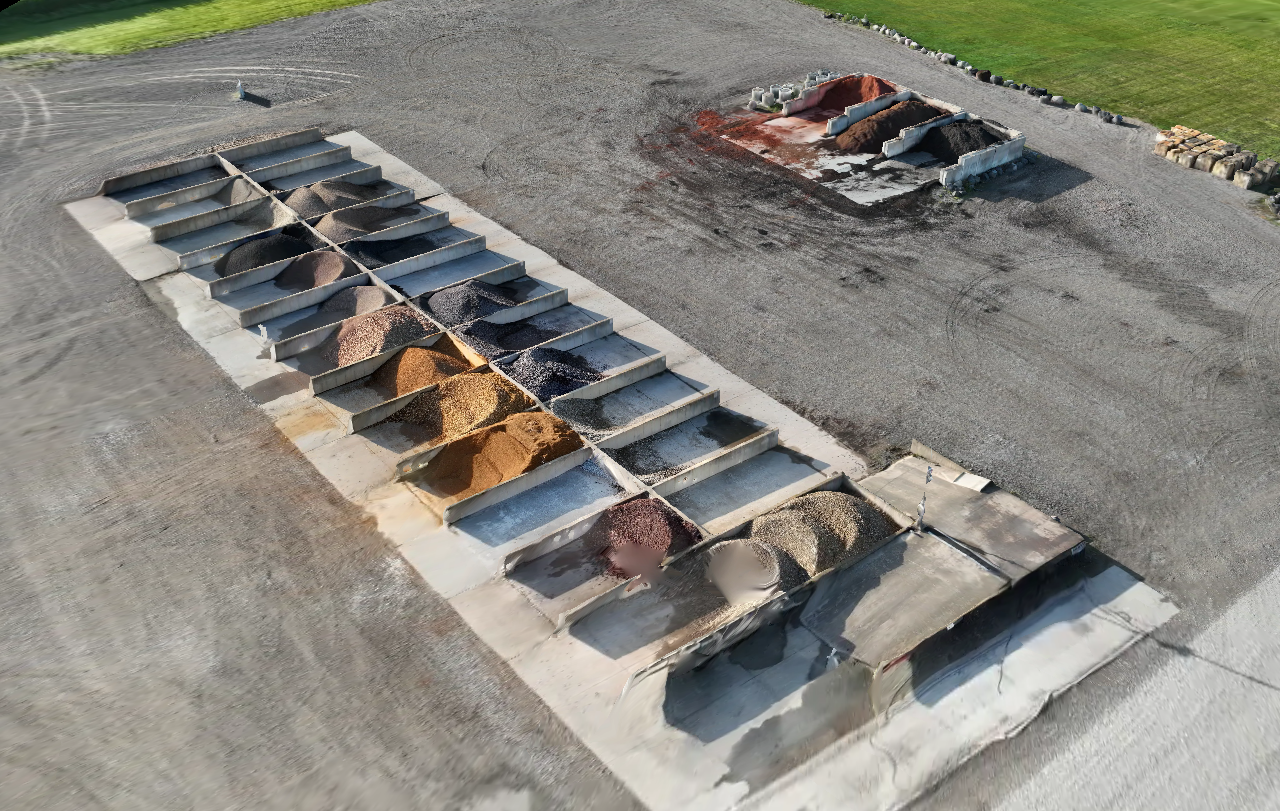
Ground photos only show part of the story. Aerial views make it easier to see the full layout of a yard, where materials are placed, how piles are shaped, and what has changed since the last visit.
This can be useful for material yards, contractors, landscape suppliers, concrete companies, quarries, excavation companies, and other businesses that store or move bulk materials.
What Can Be Included
Depending on the job, deliverables may include:
Overhead aerial photos
Orthomosaic-style site views
3D model screenshots
Stockpile close-up images
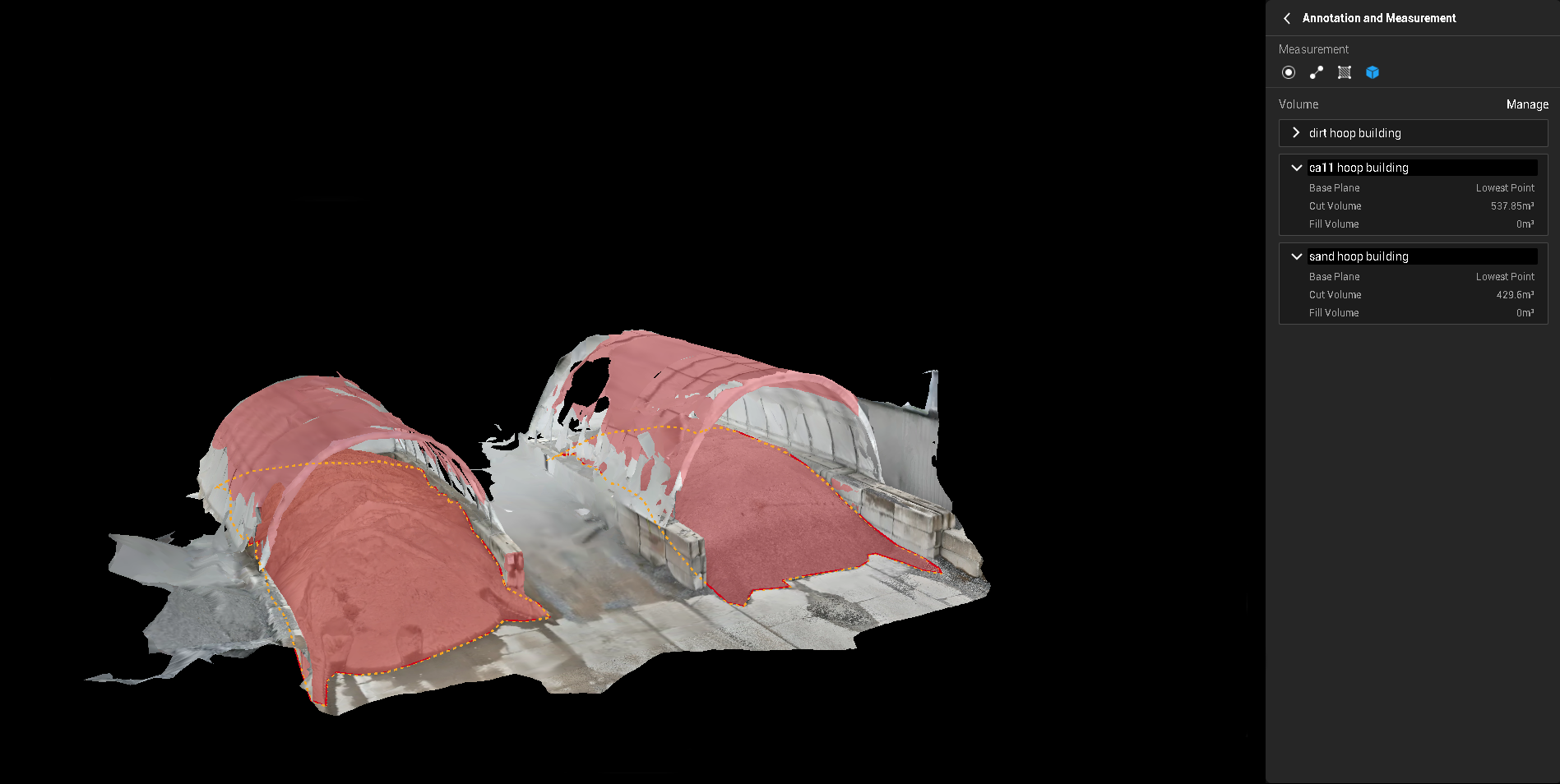
Volume-related visual references
Organized PDF or spreadsheet-style reporting
Repeat documentation on a monthly or scheduled basis